
File:Golfe Saint-Laurent en.png
No higher resolution available.
Golfe_Saint-Laurent_en.png (600 × 555 pixels, file size: 101 KB, MIME type: image/png)
| Description | |||||||||
| Date | |||||||||
| Source | Image:Canada (geolocalisation).svg | ||||||||
| Author | Benoit Rochon | ||||||||
| Permission (Reusing this file) |
|
||||||||
| Other versions |
|


.svg)
File history
Click on a date/time to view the file as it appeared at that time.
| Date/Time | Thumbnail | Dimensions | User | Comment | |
|---|---|---|---|---|---|
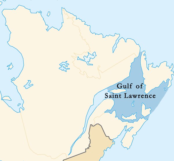
| current | 21:35, 11 March 2015 | | 600 × 555 (101 KB) | wikimediacommons>Palaeozoic99 | Changed outline of the Gulf of St. Lawrence to confirm with the International Hydrographic Organization, which defines the limits of the Gulf of Saint Lawrence as follows: On the Northeast. A line running from Cape Bauld (North point of Kirpon Island,... |
File usage
The following page uses this file: